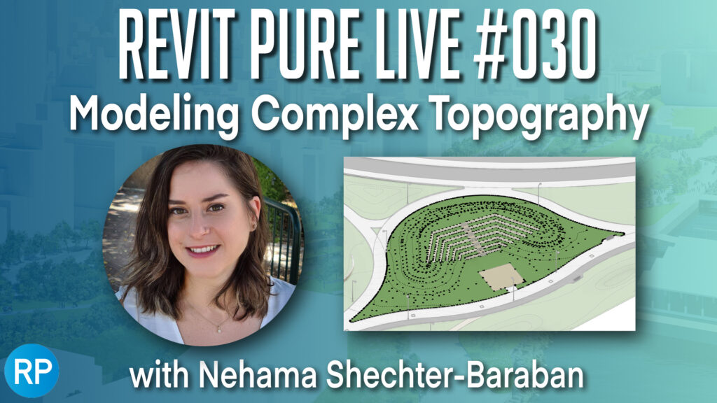
Complex topography modeling made easy
And the Oscar goes to… Who else, other than our in-house Revit guru, Nehama Shechter-Baraban, for her star performance in “Modeling Complex Topography” on Revit Pure Live (RPL), the well-loved YouTube channel brought to us by the gracious and super smart Revit aficionado, Nicolas Catellier. THANK YOU Nicolas!
But why take our word for it – here are comments made by a few of the 100+ attendees from all corners of the globe:
“She has a good flow ? endless knowledge ?”
“THIS TUTORIAL IS AMAZING.”
“Hi from Belgium. Arch-Int is a real time saver. I can’t work without it anymore ?. So, it’s very interesting, thanks.”
What’s all the fuss about – Environment for Revit®, of course.
For over an hour, Nehama captured the attention of the RPL audience with the ins and outs, the challenges and solutions, of molding and modifying complex topographies with Revit and Environment for Revit®.
While seemingly a topic of limited interest, BIM-oriented topography modeling in Revit is anything but. It is foundational to landscape design, and has, for many years, been beyond the reach of landscape professionals, because Revit (and many other BIM software solutions) wasn’t designed for landscape design. As we discovered in our first RPL session, this all changed with the introduction of Environment for Revit®.
In the last RPL session, we gave a more general overview of working with Environment + Revit and walked through various important principles and workflows relating to modeling landscapes in Revit to ensure that our model conforms to BIM thinking throughout the design and planning process.
In the current RPL video tutorial, we went one step further, or maybe we should say, deeper, by providing highly practical, detailed training on working with topographies and sloped surfaces in Revit. For the training, we relied on a real-world example from one of our clients that had been working on an initial lot plan for a new neighborhood in Revit. The materials were presented in such a way that any capable professional could easily implement the tips and tricks covered in the session to streamline their BIM site development work in Revit.
The nitty-gritty of making topographies pretty
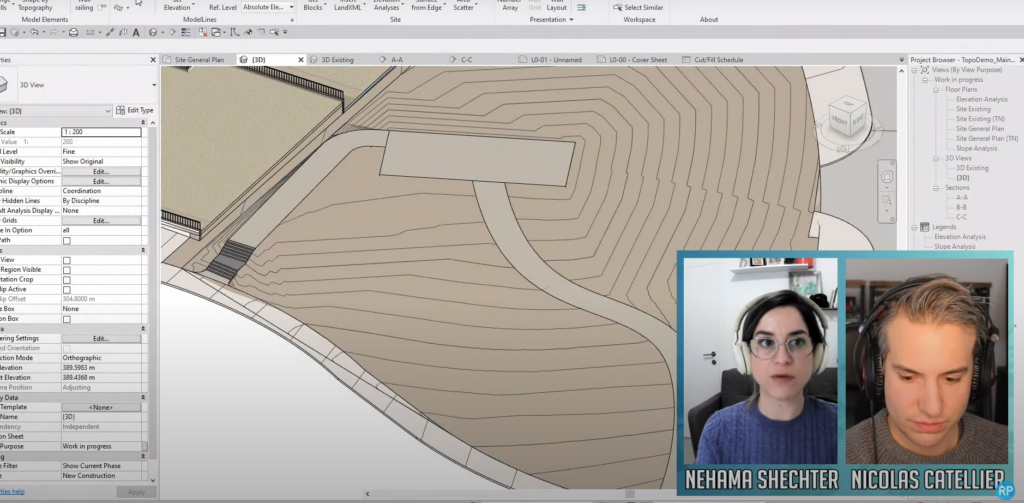
In the session, we walked through a number of BIM workflows, from schematic site design and through to precise grading in Revit. We learned the modeling principles that guided our work, and carefully examined the different Revit and Environment tools we used and how best to use them in site engineering.
The subjects discussed included:
- How to use and import data into a model – Prepare CAD & Civil 3D data for import.
- How to correct imported surfaces (survey data), when the measurements or the source file don’t include enough information and the surface comes out distorted in Revit.
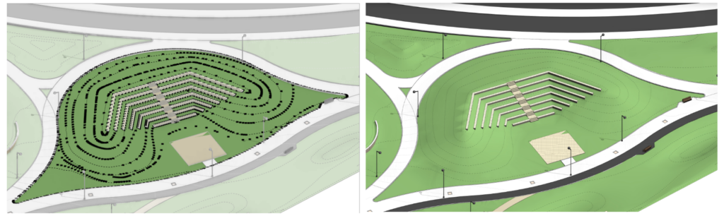
- We compared the use of sloped floors to using Toposurfaces in landscape grading.
- How to model lots using Building Pad, in a way that affords us quick access to information, such as cut and fill data.
- How to display Toposurface profiles and Property Lines in section views in Revit.
- How to create a tunnel under a Toposurface in Revit
- Creating surfaces from edges of elements in your model (Environment’s Surface from Edge tool).
- Much more!
We also discussed all manner of pointers that will save you tons of time and will dramatically improve your planning and modeling processes, hastening you on your way to becoming a BIM for landscape expert.
So… If you’re contending with a complex site and / or a large BIM project in Revit and would like to learn how to easily create an accurate landscape model without forgoing creativity or flexibility, we recommend that you watch the video.
Like the video? Want to share some of your own tricks or ask questions? We’d be happy to hear from you via our LinkedIn, Facebook, Twitter, and other pages.